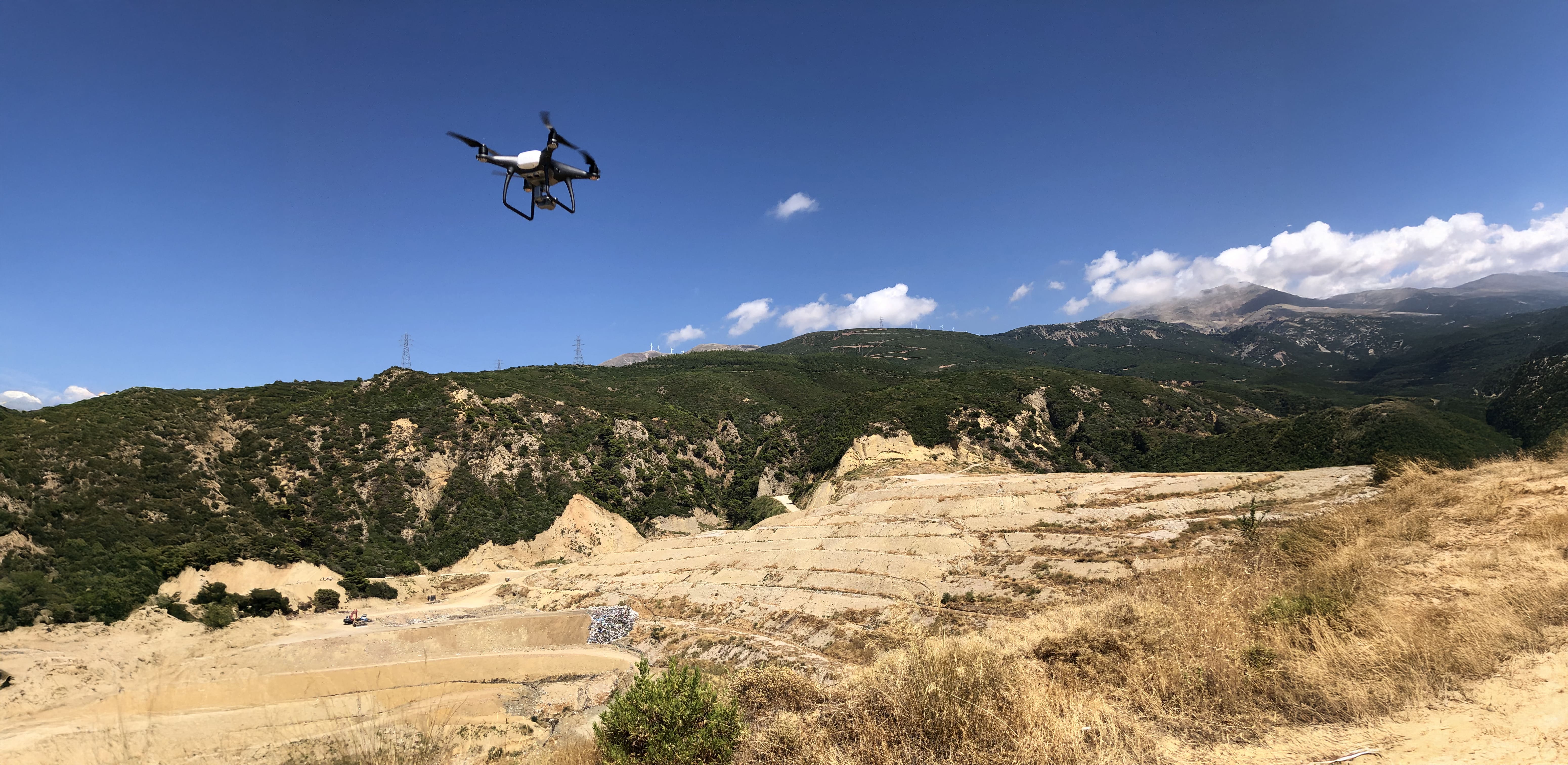
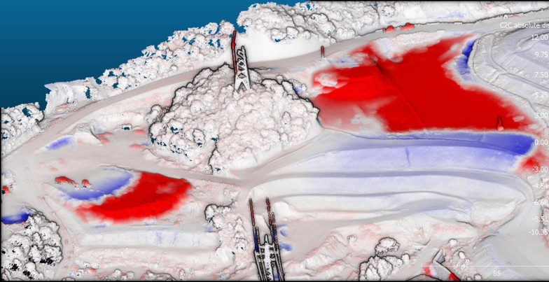
• PHOTOGRAMMETRY AND DRONE MAPPING
    Turning aerial data into actionable geospatial intelligence

We combine enterprise drones, RTK GNSS and advanced photogrammetry to deliver precise geospatial products—orthophotos, terrain models and photorealistic 3D reconstructions—ready for GIS, CAD and BIM workflows.

What we deliver

Core deliverables
Card Image

Orthophotos & Mapping

High‑resolution, georeferenced orthophotos and base maps—ideal for urban planning, cadastral updates, engineering studies and environmental projects. Centimeter‑level accuracy for a reliable data basemap.

Card Image

Digital Elevation Models (DEM/DSM/DTM)

Precision terrain and surface models derived from drone imagery. Supports flood risk assessments, infrastructure design, cut‑fill volume calculations and detailed topographic analyses.

Card Image

3D Models & Reality Capture

Photorealistic 3D reconstructions of sites, buildings and infrastructure. From digital twins to immersive visualizations, our models provide powerful insight for engineers, architects and decision‑makers.

Additional Deliverables & Applications
Card Image

Volume Calculations

Accurate cut & fill and stockpile volumes for earthworks, construction and mining.

Card Image

GIS & CAD Integration

Deliverables tailored for ArcGIS, QGIS, AutoCAD, Civil 3D and BIM—ready to plug in.

Card Image

Change Detection & Monitoring

Repeat surveys for progress tracking, settlement monitoring and environmental change.

...
Featured Project

City‑scale Mapping with Centimeter Accuracy

From drone survey and mobile mapping to orthophoto, terrain models and a textured 3D mesh, this Digital Twin project demonstrates our end‑to‑end workflow: flight planning, ground control/RTK, robust photogrammetric processing and delivery in GIS/CAD/BIM formats.

  • Orthophoto GSD: 2.5 cm/pixel
  • DTM/DSM resolution: 10–50 cm
  • 3D textured mesh for visualization and measurement
  • 300 km urban road mobile mapping
  • 360o Panoramic Street View every 10 m

Check Similar Projects

Why Choose Us

Cutting-Edge Technology

Enterprise drones, RTK GNSS and advanced photogrammetric pipelines for accuracy and efficiency.

Proven Expertise

From city‑scale mapping to heritage documentation and complex infrastructure surveys, we ensure every aspect of your project is handled with precision and care.

Actionable Results

Deliverables integrate seamlessly into GIS, CAD and BIM to streamline decisions.

Experience Across Sectors

Trusted by municipalities, engineers and private clients for informed decisions nd streamlined workflows.

Contact Us

Success! Your message has been sent to us.
Error! There was an error sending your message.