City of Volos Digital Twin: A landmark Project Combining Aerial and Mobile Mapping Into a Unified Geospatial Platform
Our team undertook the creation of the Digital Twin of the City of Volos, a landmark project that integrates aerial and mobile mapping into a unified geospatial platform.
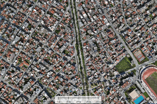
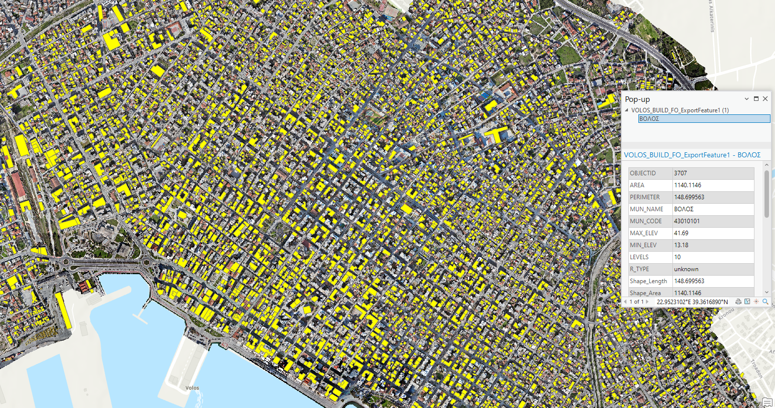
With 2.5 cm/px orthophotos covering 10km2 of urban area, more than 300 kilometers of streets mapped, and 15,000 of urban assets digitized, the Digital Twin of Volos brings every detail of the city into focus.
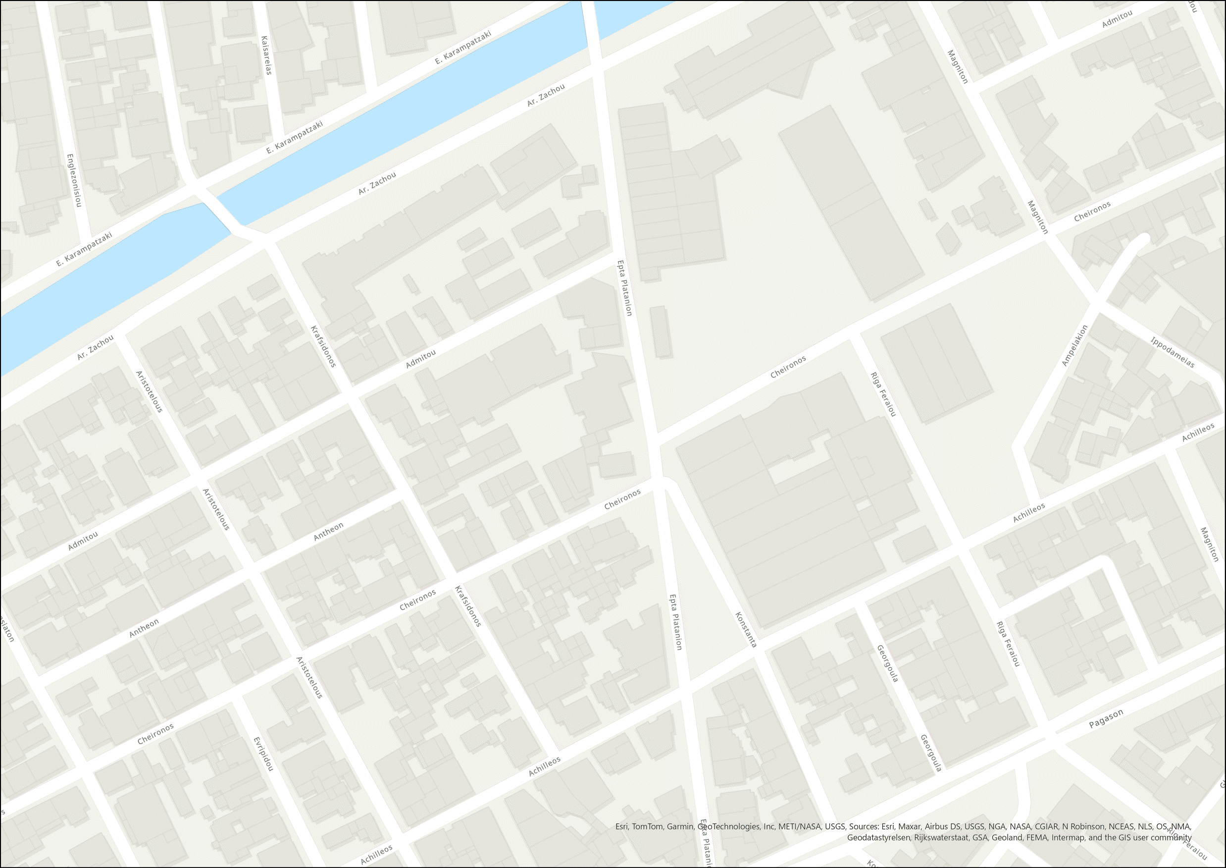
All spatial products were delivered seamlessly in QGIS, enriched with digitized urban assets such as building footprints, tree inventories, and 360° street view photos. To maximize accessibility, we also developed WebGL applications for the 3D textured city model and the 3D point cloud, enabling stakeholders to explore Volos in an interactive, browser-based environment.
This project provides the municipality with a powerful tool for urban planning, asset management, and smart‑city applications—a robust foundation for data‑driven decision making.
Download project sheet
Volos_Digital_Twin_Presentation.pdf