
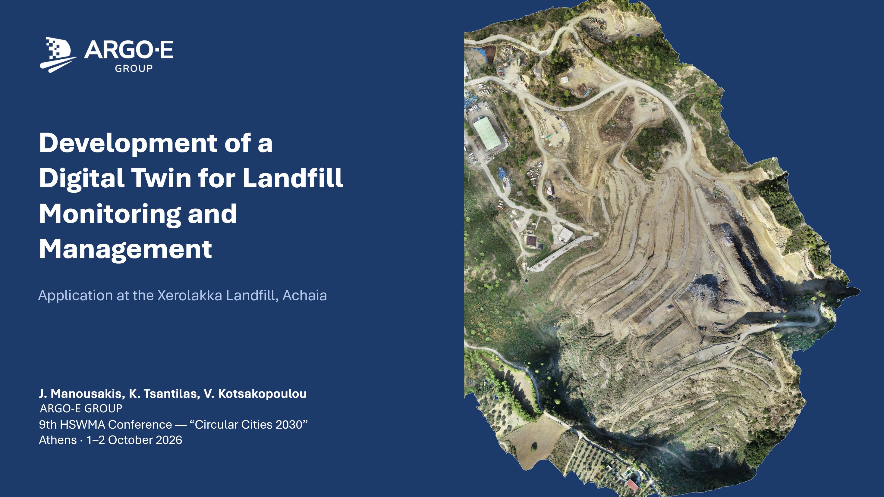
ARGO-E GROUP at the 9th HSWMA Conference: A Digital Twin for Landfill Monitoring
ARGO-E GROUP took part in the 9th Conference of the Hellenic Solid Waste Management Association (HSWMA/ΕΕΔΣΑ), "Circular Cities 2030: From Planning to Implementation". The conference was held on 1–2 October 2026 at the historic buildings of the National Technical University of Athens on Patision Street.
On Friday 2 October, in Session B4 "Smart Systems, Artificial Intelligence, Automation and Modelling", Giannis Manousakis presented "Development of a Digital Twin for Landfill Monitoring and Management: Application at the Xerolakka Landfill, Achaia". The paper's authors are G. Manousakis, K. Tsantilas and V. Kotsakopoulou.
What we presented
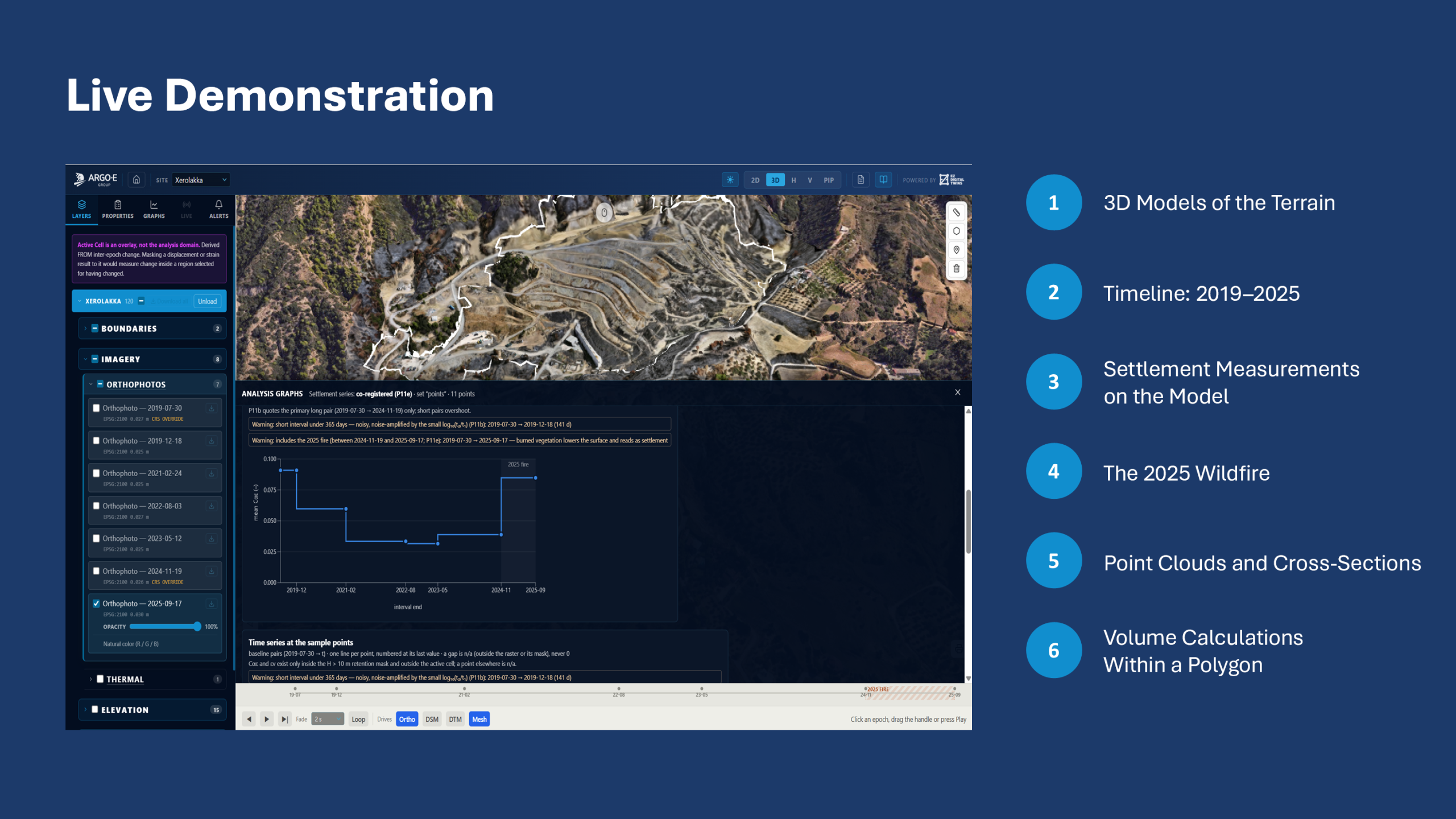
The digital twin brings seven UAV surveys, from 2019 to 2025, into one common reference frame. It includes orthophotos, terrain models, 3D meshes, point clouds and topographic drawings. Everything opens in a standard web browser, with tools for settlement, cross-sections, volumes and cover risk maps. The talk included a live demonstration of the platform.
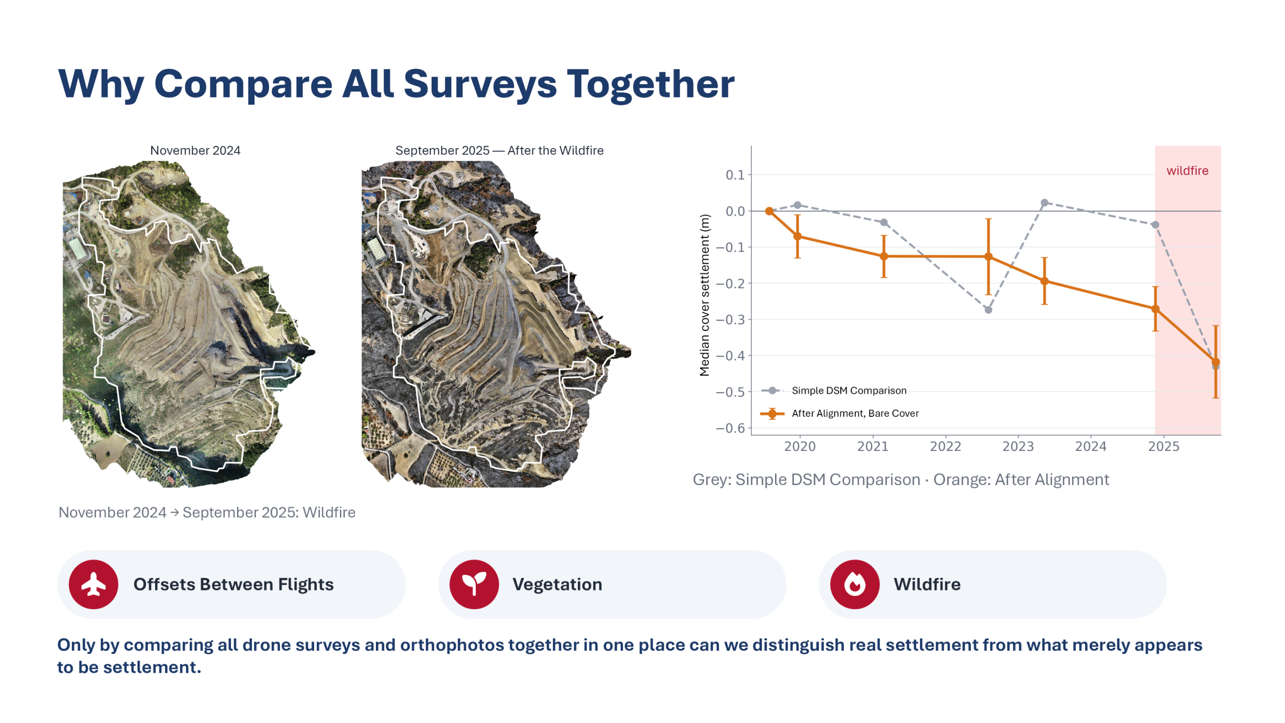
The main finding concerns the measurement itself. Successive surveys differed by 5 to 16 cm, and vegetation and a 2025 wildfire also changed the surface. These effects are as large as the settlement we set out to measure. Only when all surveys were compared together, on ground that does not move, did the real picture emerge: the capped terraces settle steadily, by about 5 cm per year.
What it means for landfill operators
All data in one place.
Years of surveys are used together, with no specialist software needed on the user's side.
Reliable comparisons.
Offsets between flights are detected and corrected, so decisions do not rest on apparent settlement.
Targeted maintenance.
The maps show where water may pond or the cover may be strained, so field inspections can start there.
Volumes and planning.
Volumes between any two surfaces, reported with their uncertainty.
Evidence for post-closure care.
A continuous, verifiable record of the site that supports post-closure monitoring and planning for future land use.
The platform is built on the EZ Digital Twins environment and is designed to integrate methane sensor readings next. The same approach can be applied to any landfill that has, or plans, drone surveys.
We thank HSWMA for organizing the conference and the University of Patras, SYDIASA and the Municipality of Patra for their collaboration.
For more information or a demonstration of the platform, get in touch.