ARGO-E Co-Authors Landmark Study on UAV-Based Landfill Settlement Monitoring in Greece
ARGO-E Group is proud to announce its solid contribution to a newly published scientific paper presenting a pioneering UAV-based monitoring program at the Xerolakka Municipal Solid Waste landfill in Western Greece. The study sets a new benchmark for how landfill settlement is observed, measured, and interpreted at full scale.
Published on March 5, 2026, in the ASCE Geoenvironmental Engineering Geotechnical Special Publication 374, the paper is titled "Geospatially Resolved UAV-Enabled Waste Settlement Monitoring at Xerolakka Landfill in Greece" and is co-authored by ARGO-E's Ioannis Manousakis and Prof. Dimitrios Zekkos (University of California, Berkeley), alongside Lysimachos Tigkas, and Prof. George Athanasopoulos (University of Patras). ARGO-E's team was responsible for the UAV field operations, data collection and analysis throughout the entire monitoring program.
What the study is about
The research tackles a long-standing challenge in landfill engineering: conventional settlement monitoring relies on physical instruments, plates, and surface monuments, that are costly, disruptive to operations, and only capture isolated point measurements. The result is data that is sparse in both time and space, limiting confidence in predicting long-term landfill performance.
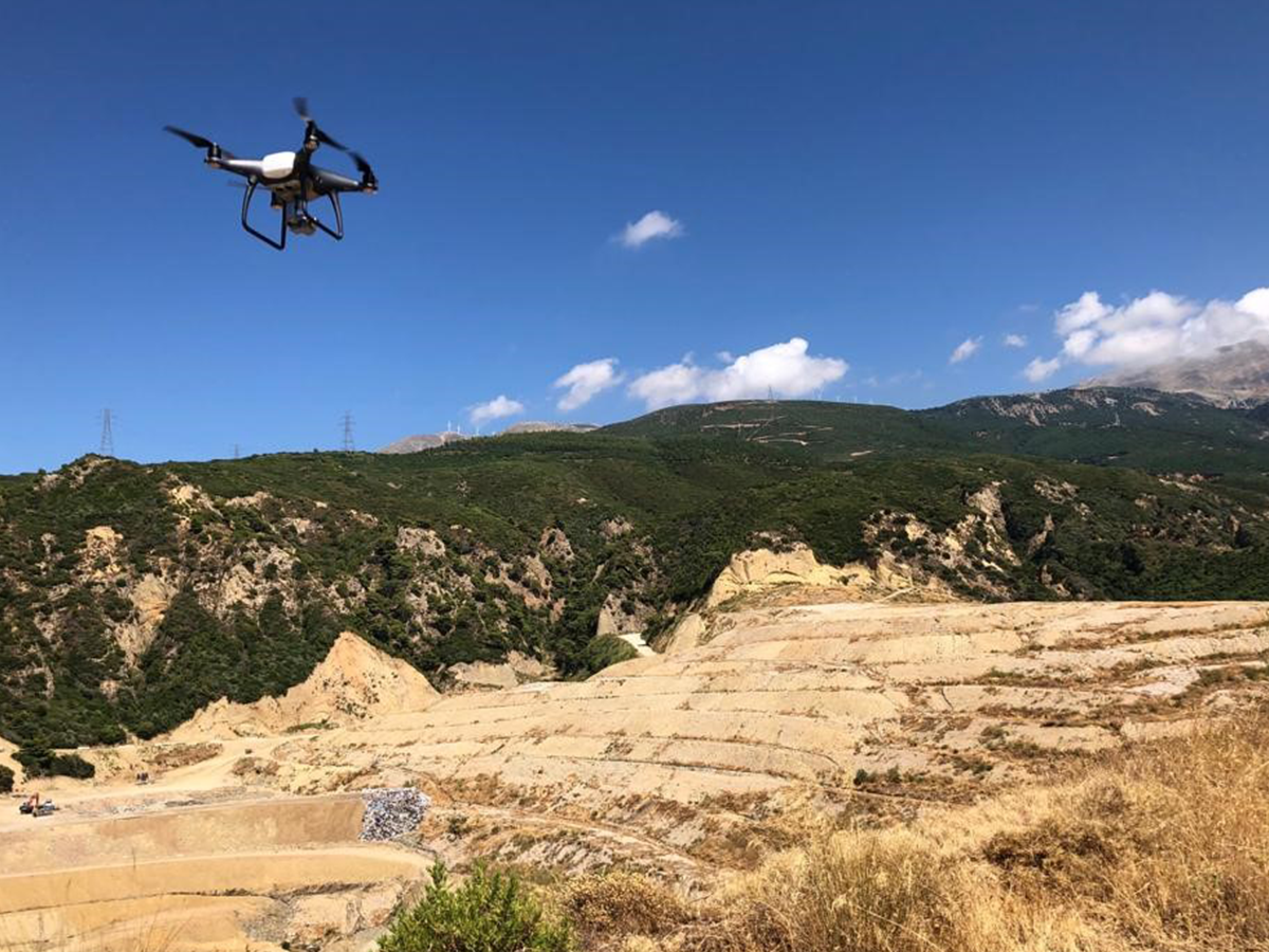
The study demonstrates how repeated UAV deployments equipped with optical cameras, combined with the Structure-from-Motion (SfM) photogrammetric technique, can generate high-resolution 3D models of the entire landfill surface at sequential timeframes. By differencing these models, spatially continuous settlement maps are produced across the full landfill footprint, without any permanent installations and without interfering with daily waste operations.
Four UAV surveys were conducted between July 2019 and August 2022 at the Xerolakka canyon landfill near Patras. The resulting data allowed the team to calculate long-term settlement rates (C_LT) across the site, revealing that settlement rates are not constant over time — a key finding that challenges common assumptions in landfill design and is consistent with the underlying biological and physicochemical decomposition processes occurring within the waste mass. On average, settlement rates at this landfill were found to be 0.3 (±0.1), consistent with international field data. Crucially, the geospatial resolution of the data also allowed the identification of localized areas of higher settlement, providing insights into waste degradation patterns that would be impossible to detect with traditional monitoring methods.
Why it matters
This work demonstrates that UAV-based monitoring can be applied not only after landfill closure, but during active operations, delivering valuable, site-specific information for facility planning, cover integrity management, and post-closure land use development. It represents a significant step forward in making landfill monitoring more efficient, informative, and non-intrusive.
We are proud of our team's contribution to this research and look forward to continuing to advance the application of UAV technology in geotechnical and environmental engineering.
Curious to dive deeper? Read the full paper here